
High-Precision Aerial Intelligence for Site Supervisors
Drive project accuracy and ensure safety with certified drone mapping, progress tracking, and 3D volumetrics built for modern construction workflows.
Accuracy
Sub-centimeter precision with RTK
Frequency
Weekly progress documentation
Safety
FAA Part 107 Certified Operators
Field-Tested Site Intelligence
Halt guesswork and costly rework with survey-grade aerial data built for the fast-paced demands of Central Colorado job sites.
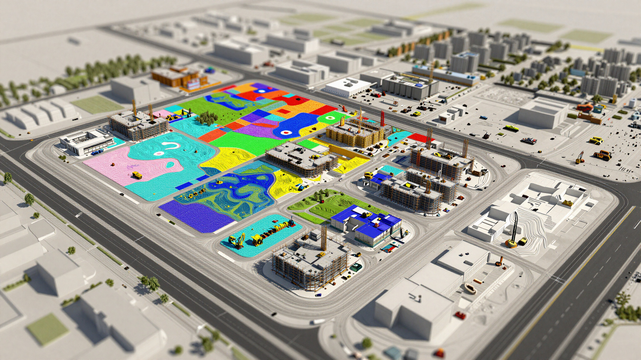
01. Precision Mapping
Get accurate orthomosaics for exact site planning. We deliver survey-grade precision to verify your boundaries.
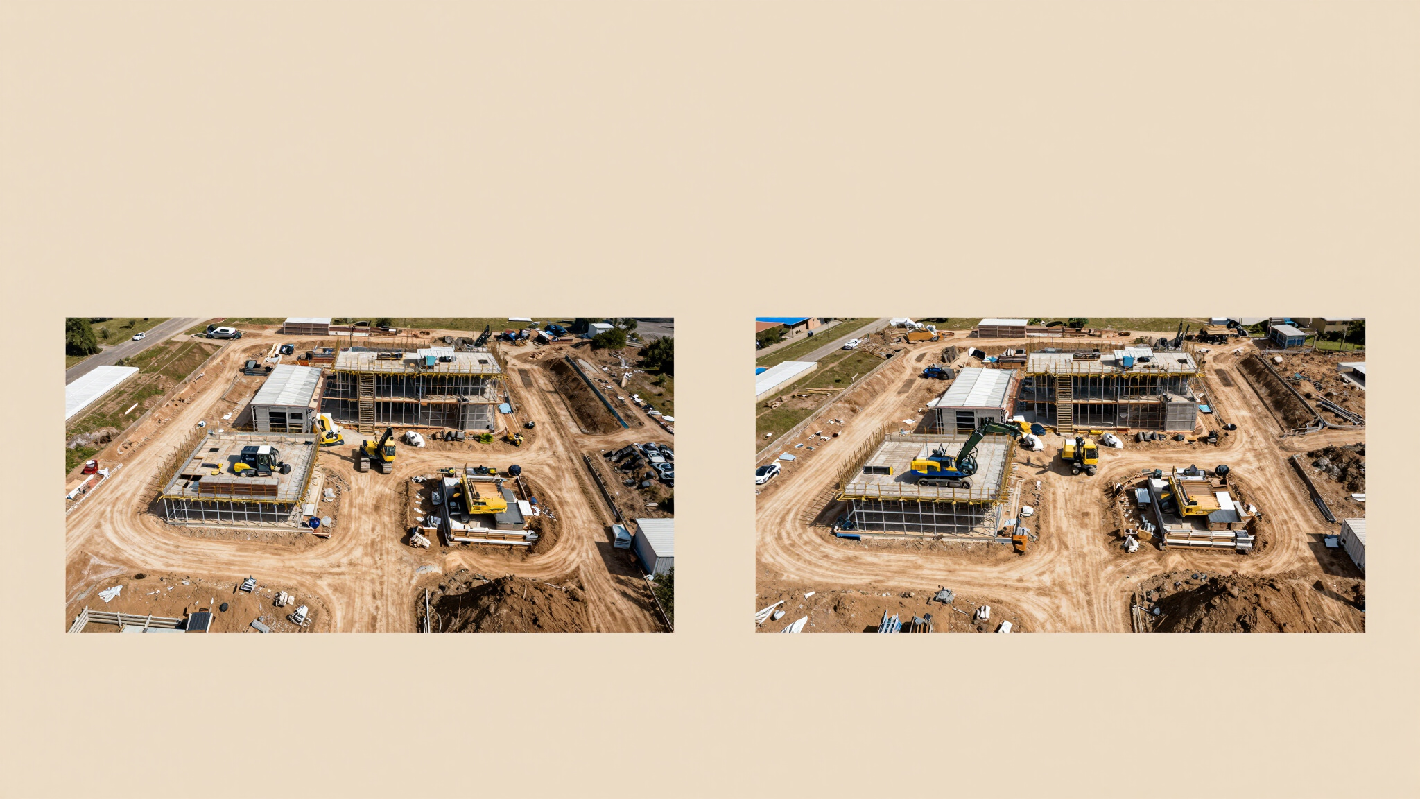
02. Site Progress
Consistent visual logs of every milestone. Keep your schedule on track with clear, undeniable site evidence.
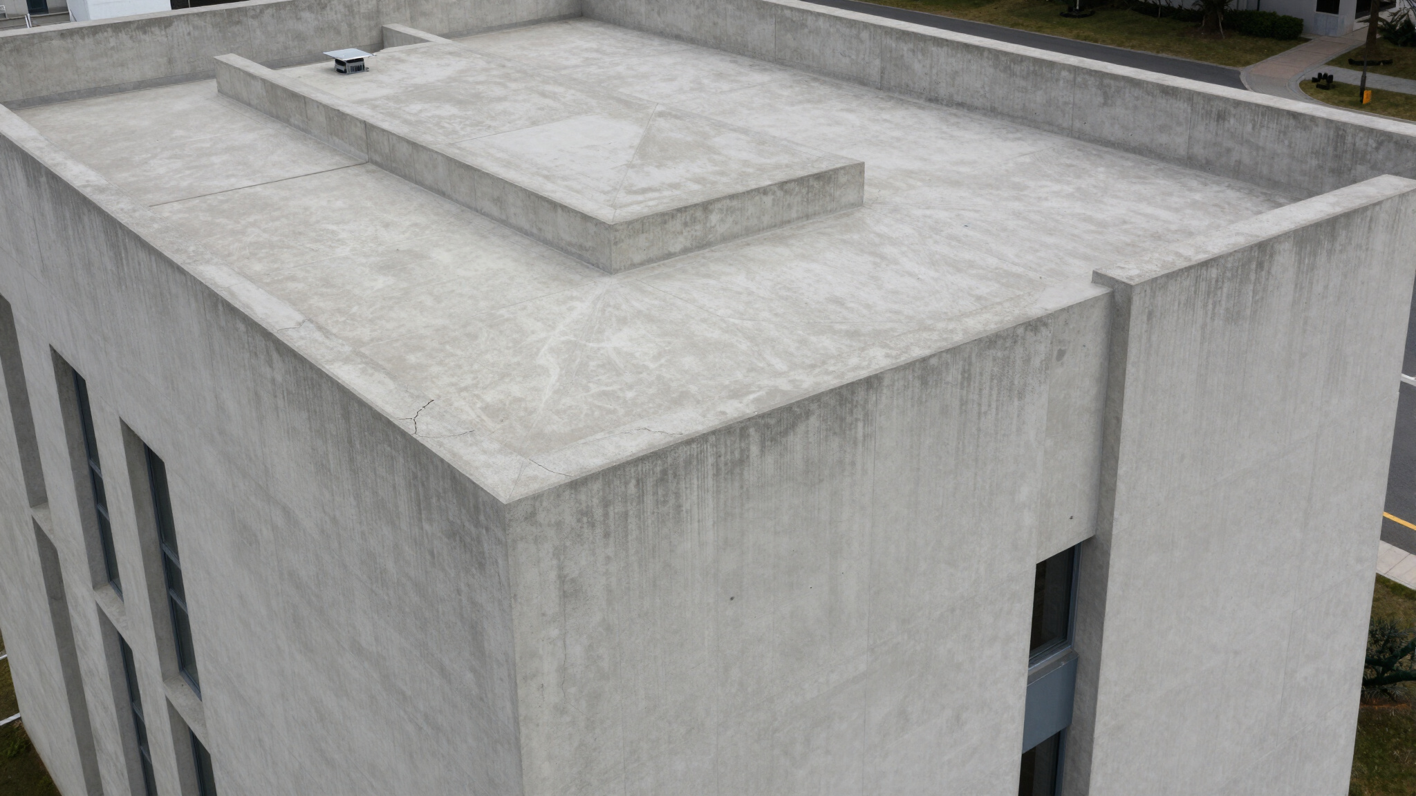
03. Rapid Inspection
Identify structural issues on roofs and façades. Lower insurance risk and skip the rental lift costs.
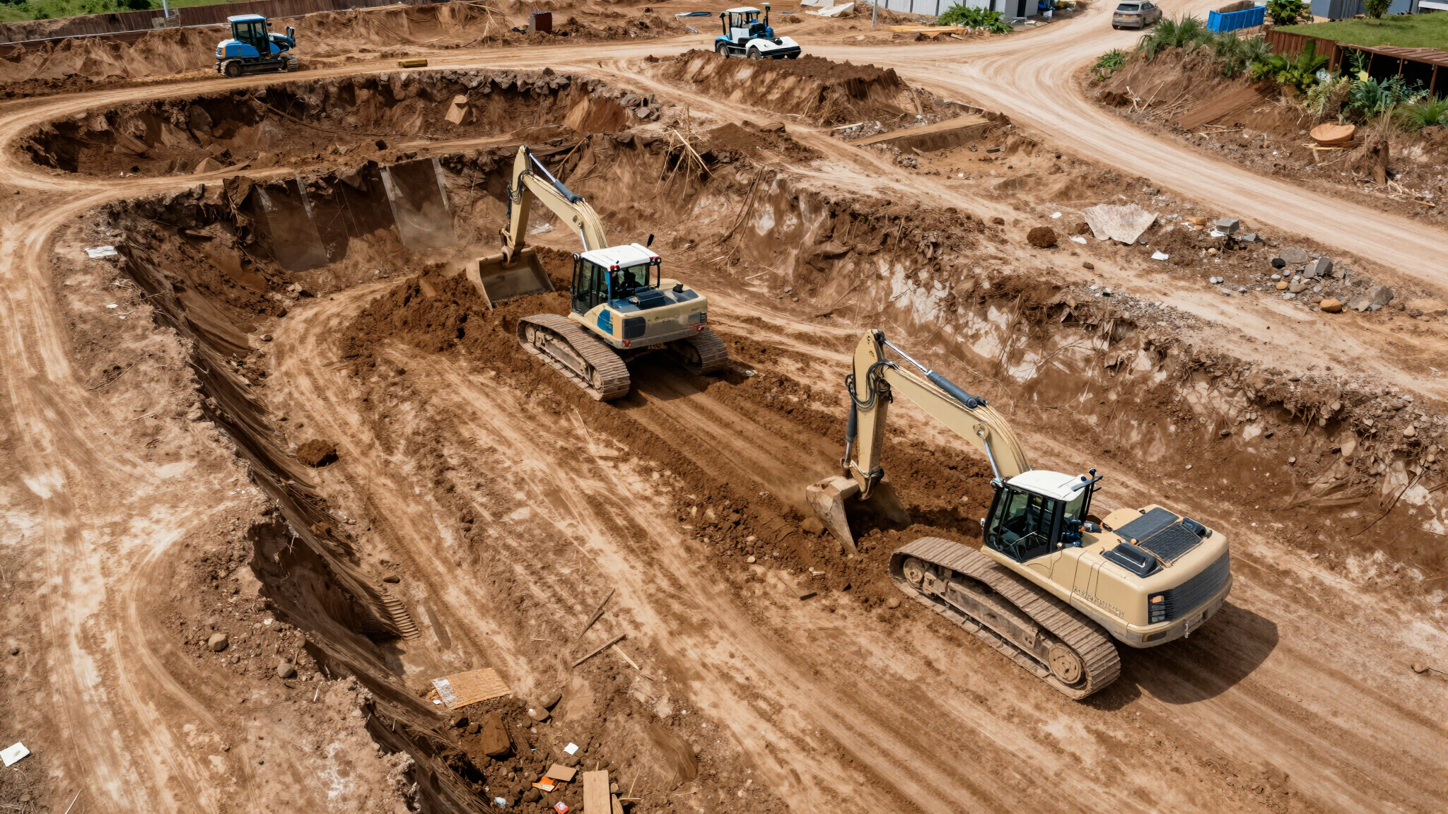
04. Earthwork Data
Ditch the manual surveys. Get exact cut-and-fill volumes and stockpile metrics to manage your inventory.
Your Strategic Construction Partner
Aerial Intelligence for Modern Job Sites
We are a specialist drone intelligence partner dedicated to the construction and civil engineering sectors. Our team combines technical drone expertise with a deep understanding of active job site requirements. Fully safety-certified, insured, and experienced in navigating complex construction environments, we provide the accurate data you need to keep projects on track.
100%
Safety Certified
$5M
Liability Insured

Featured Projects






CONTACT US
Ready to bring precision aerial intelligence to your next project? Get in touch with our team today to discuss your construction site requirements.
Phone: +1 (555) 123-4567
Email: projects@goldeneagleeye.com