Precision site intelligence for Central Colorado construction
Golden Eagle Eye is your boots-on-the-ground partner for sub-centimeter site accuracy. We eliminate guesswork for Central Colorado project managers by delivering rugged, autonomous drone mapping that transitions seamlessly from active job sites to office reports. Our certified specialists prioritize safety and hard data, providing survey-grade documentation that streamlines tracking, mitigates risk, and keeps your heavy civil projects on schedule and within tech specs.


Marcus Thorne
Lead UAS Pilot
FAA Part 107 Certified. 2,500+ incident-free flight hours on active construction sites.
The Flight Crew
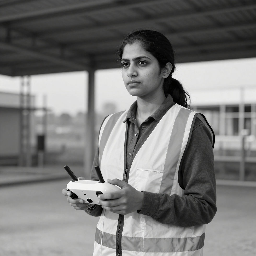
Elena Rodriguez
Mapping Specialist
GIS Expert & Civil Engineer. Specializes in 3D volumetrics and sub-centimeter site documentation.

David Chen
Safety & Compliance Officer
Former First Responder. OSHA 30 certified. Manages all site access protocols and liability compliance.
Our Expertise & Safety Certifications
FAA Part 107 Certified
Completely licensed for commercial small Unmanned Aircraft Systems (sUAS) operations in US airspace.
$5M Liability Insurance
Comprehensive coverage specifically tailored for high-risk construction and industrial environments.
3D Mapping & Volumetrics
Precision data collection for topography, earthworks, and sub-centimeter point cloud generation.
Engineering Background
Aerial Inspections
Specialized close-proximity inspections for infrastructure, energy sectors, and urban high-rises.
Progress Media
Team members bring civil engineering and first responder experience for enhanced site intelligence.
Consistent 4K documentation designed for project stakeholders and cross-site progress tracking.